

Clear Creek Metro Park

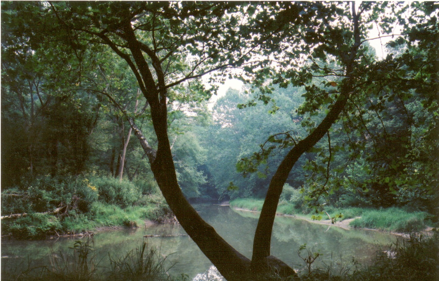
The topography of the park is extremely rugged, with many steep ravines, rock outcroppings and cliff faces. While hemlocks and ferns prefer the cool ravines, the hillsides are covered with oak forests. Open fields on the ridgetops and in the valley provide habitat for meadow plants and animals, and wetlands along the creek create homes for sycamore trees and waterfowl.
Over 1200 plant species have been identified in Clear Creek. Among the standouts are mountain laurel, little gray polypody, maidenhair ferns, horsetail, pink ladyslipper, skunk cabbage, witch hazel, American chestnut, and persimmon trees.
The valley is home to over 150 species of birds, including black vultures, eastern bluebirds, veeries, wood thrush, great blue heron, woodcock, wild turkey, and many species of warblers.
Evidence of beaver activity is easily found near the creek, but bobcats live more secretive lives among the rock ledges. Chipmunks rustle among fallen leaves and deer sightings are frequent.
Much of the land in Clear Creek Metro Park comes from three sources. The Allen F. Beck and Emily Benua families had been acquiring and preserving valley properties for decades, and Oscar Barnebey owned valley land on which the Camp Indianola church camp was built. The Ohio State University later converted the church camp to the Barnebey Center, a natural resources lab. In the late 1960's there was talk of damming the valley and turning it into a reservoir. After this project was defeated, the Beck and Benua families began donating their land to the Franklin County Metro Park system. When OSU abandoned the Barnebey Center, Metro Parks was able to buy it. The park now contains about 5,000 acres of woods and fields.
Clear Creek Metro Park will always retain its semi-primitive nature. Future development will provide more trails, picnic spots, and areas for nature program presentations, but there will also be sections kept closed to the public for the preservation of rare and endangered species.
Picnic areas and trailheads are located at several points along Clear Creek road.